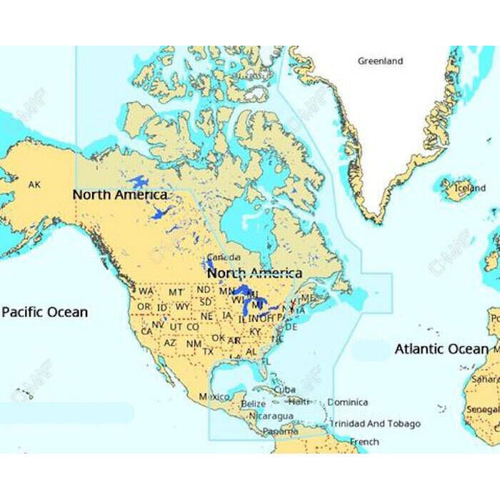

C-Map 4D MAX+ Electronic Continental Chart Item # 864102

Description
C-MAP 4D MAX+ is the latest evolution of electronic charting technology, combining award-winning vector chart data with exclusive Dynamic Raster Charts and the ability to view charts in 2D or amazing 3D presentation with high-resolution satellite imagery. Packed with innovative features designed to enhance every cruising, fishing or sailing experience.
Compatible with top chart plotter manufacturers including, Furuno, Humminbird, Raymarine and Standard Horizon. Local and Wide coverage available worldwide, and at a budget that suits your boating needs. Ability to add future "Value Added" data segments and features.
Also available with lower cost and content options designed specifically for the Raymarine Dragonfly Displays.
Includes:
- Full feature vector charts
- Dynamic raster charts
- 3D Views
- Satellite images
- High resolution bathy data
Features:
- Applications: Raymarine, Furuno, Standard Horizon
- Raymarine
- Axiom - Minimum Software Version 3.2
- Dragonfly 4/5/7 PRO - Minimum Software Version 11.41
- Dragonfly 6 / 7 - Minimum Software Version 11.41
- aSeries (a6/a7/a9/a12) - Minimum Software Version 13.37
- cSeries (c9/c12/c15) - Minimum Software Version 13.37
- eSeries (e7/e9/e12/e16) - Minimum Software Version 13.37
- eS Series (eS75, eS78, eS97, eS98, eS127, eS128) - Minimum Software Version 13.37
- gS Series (gS95/gS125/gS165/gS195) - Minimum Software Version 13.37
- Furuno
- GP-1670
- GP-1670F
- GP-1870
- GP-1670F
- GP-1871F
- GP-1971F
- Standard Horizon
- CPN700I
- CPN1010I
- Raymarine

