

C-Map
C-Map 4D MAX+ Local Electronic Navigation Chart - East North America & Bermuda
Item: #864110 | Part Number: Not Selected
Up to 21% off
MSRP: $292.47
$229.00 - $292.47

Description
The C-MAP 4D MAX+ Local Electronic Navigation Chart for East North America & Bermuda delivers advanced coastal navigation with rich detail and powerful features. Combining full-featured vector charts, dynamic raster views, 3D land and bottom contours, and high-resolution satellite imagery, it enhances situational awareness and confidence on the water. Ideal for cruising, fishing, and extended coastal travel.
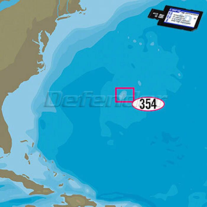
C-Map 4D MAX+ Local Electronic Navigation Chart - East North America & Bermuda Item # 864110
Description
C-MAP 4D MAX+ Charts include all C-MAP 4D MAX features plus Raster Charts, 3D Views, Satellite Imagery and Easy Routing.
Features:
- Full-Featured Vector Charts provide rich detail with the versatility to customize data layers
- Tides, Currents and Animated Tidal Flows with interactive on-screen tide graphs and current directions
- Aerial Photos of harbor entrances, channels and marinas
- Guardian Alarm to search and receive alerts for rocks, shallow depths, obstructions and other navigational hazards
- C-Marina Port Database and detailed marina charts with contact information, operating hours, port layout and facilities
- High-Resolution Bathymetric Charts provide detailed bottom profiles for locating offshore and coastal fishing areas
- Sport Fishing Data with updated fishing hotspots, rules and regulations
C-MAP 4D MAX+ Exclusive Features:
- Dynamic Raster Charts for traditional "paper chart" look with unique ability to access information on buoys, lights and other details
- 3D Views of land elevations and bottom contours
- High-Resolution Satellite Imagery provides real-world reference and enhances situational awareness for coastal navigation
- Easy Routing automatically plots shortest, safest route based on detailed chart data and user's vessel information (not available for Humminbird in the U.S.)
Specifications:
- Coverage Category: LOCAL
- Media: Micro SD Card with SD Card Adapter
Note: LOCAL charts provide detailed chart data and advanced features with plenty of coverage to enjoy extended travel and time on the water. WIDE charts provide expansive coverage for far-ranging adventure seekers.