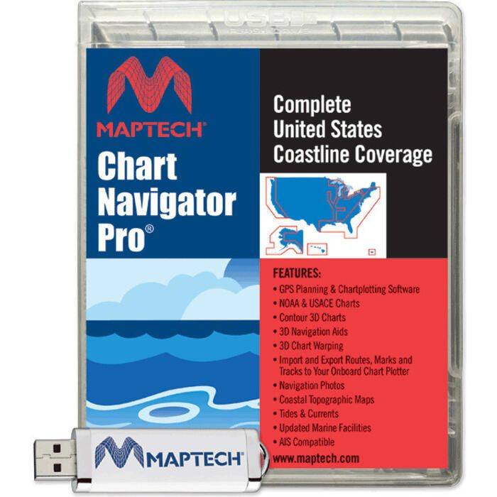
Maptech Chart Navigator Pro Software - SWCNPRO2024
Item: #1779701 | Part Number: SWCNPRO2024

Maptech Chart Navigator Pro Software - SWCNPRO2024 Item # 1779701

Description
Everything You Always Wanted, Together In One Box
Chart Navigator Pro is Maptech's® full-featured GPS planning and chart-plotting software. The easy-to-load USB Flash Drive includes detailed United States cartography including Raster Charts, Photo Charts, Topographic Maps, and 3D Contour Charts, as well as a full array of software tools to help you plan and enjoy your time on the water.
Better Charts, Better Software
NOAA is the official United States cartographer and publishes more than 2,200 charts and insets covering the entire U.S. coastline, including Alaska, Hawaii, Puerto Rico and the border of the Great Lakes. Inland waterway charts are published by the Army Corps of Engineers. They are all included on the USB Flash Drive along with Maptech's® Contour 3D Charts, Navigation Photos, Aerial Photos, and Coastal Topo Maps.
Features:
- GPS Chart-Plotting: View your real-time GPS position right on the PC screen. All it requires is connecting an industry-standard NMEA 0183 GPS
- AIS Compatible: Connect an AIS to the computer along with your GPS and you can plot other vessels' positions as well as your own
- Chart Warping: Overlay or warp your raster charts to Maptech 3D charts
- 3D Bathymetric Contour Charts with 3D Navigation Aids: Get the same view on screen that you see at the helm. Buoys flash in correct sequence
- Import and Export Routes, Marks and Tracks to your onboard chart plotter
Requirements:
- System:
- Windows® 7, 8, 10 or 11
- Pentium-class CPU, 16 bit
- 64 MB RAM
- 500 MB hard disk space
- 800 x 600 display
- GPS:
- Industry-standard NMEA 0183 GPS
- Connection cable
- 1 available COM port
- Note: A GPS is not required to run Offshore Navigator Lite
- Autopilot:
- Connected GPS
- NMEA 0183 Auto-pilot
- Connection cables

