

Maptech
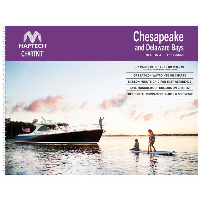
Maptech ChartKit - Chesapeake and Delaware Bays - R04-15
Item: #931662 | Part Number: R04-15$210.70

Description
- Full-color NOAA chart reproductions for Chesapeake and Delaware Bays
- Pre-plotted GPS waypoints, magnetic courses, and lat/lon grids
- Coastal and offshore coverage with Yeoman reference points
- Includes digital chartbook companion and navigation software
Maptech ChartKit - Chesapeake and Delaware Bays - R04-15 Item # 931662
Description
This Maptech chart kit is a reliable navigation reference that contains full-color reproductions of NOAA charts bundled together in large cruising regions.
Features:
- Navigation information with coastal and offshore coverage of the Chesapeake and Delaware Bays
- Full-color charts, GPS waypoints, courses and distances, and Yeoman reference points
- Easy to use pre-plotted waypoints and lat/lon grids for your GPS with magnetic courses for your compass
- Fully referenced geographic and alphabetical indexes quickly point you to the right page
- Includes digital chartbook companion charts and software