

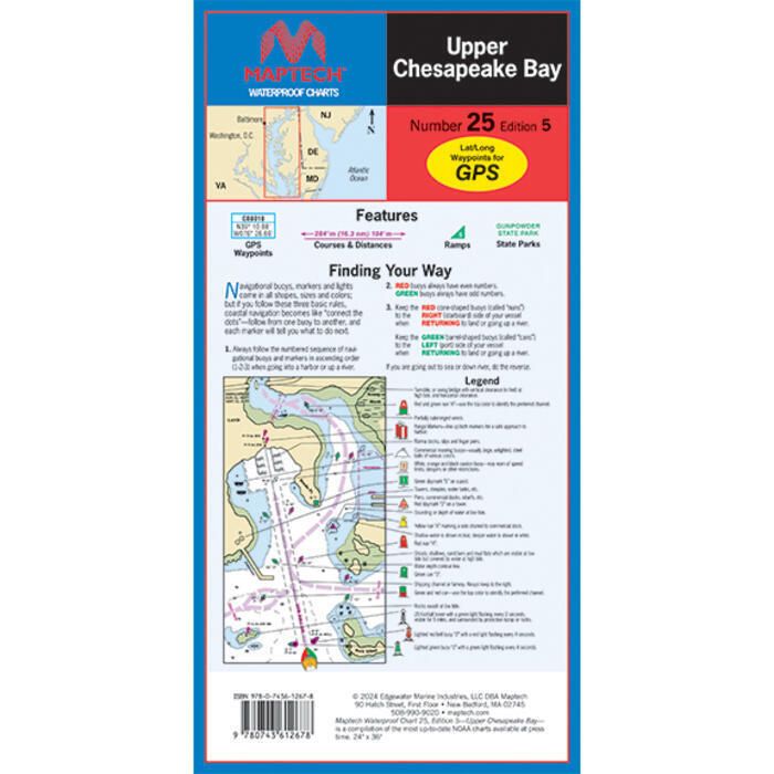
Maptech
Maptech Folding Waterproof Chart - Upper Chesapeake Bay - 5th Edition - WPC025-05
Item: #1144313 | Part Number: WPC025-05
14% off
MSRP: $41.47
$35.34
Description
C&D Canal to the Potomac River. Featuring waypoints for major buoys, courses and distances, and ramp locations and information.
Maptech Folding Waterproof Chart - Upper Chesapeake Bay - 5th Edition - WPC025-05 Item # 1144313
Description
C&D Canal to the Potomac River. Featuring waypoints for major buoys, courses and distances, and ramp locations and information.