

Description
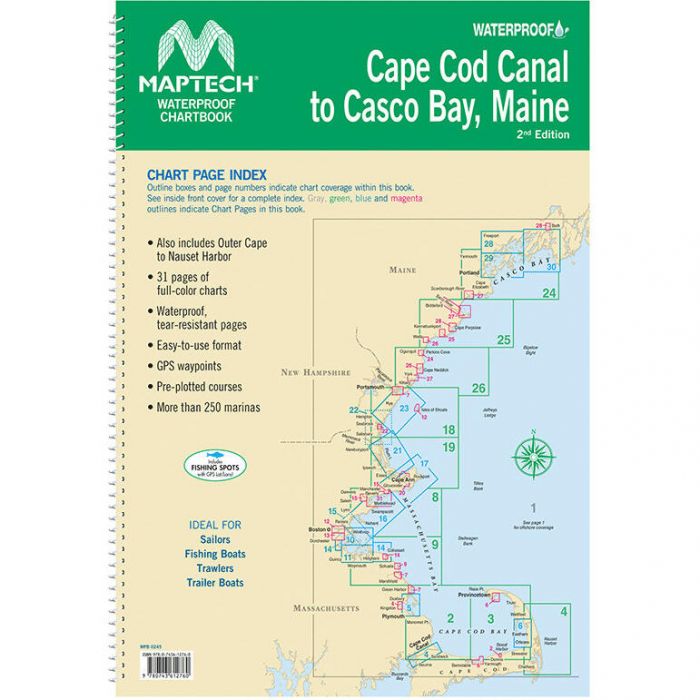
The Maptech Waterproof Chartbook delivers full-color coastal navigation in a rugged, easy-to-use format. Printed on waterproof, tear-resistant pages, it includes GPS waypoints, pre-plotted courses, and detailed marina info for confident cruising.
Maptech Waterproof Chartbook Item # 1753626
Description
Offers full-color charts on waterproof, tear-resistant pages. Easy-to-use format includes GPS waypoints, pre-plotted courses.
Specifications:
- Cape Cod Canal to Casco Bay
- 250 marinas
- 31 chart pages
- Narragansett Bay to Cuttyhunk and Block Island
- 200 marinas
- 19 chart pages