

C-Map
C-Map 4D Continental Electronic Navigation Chart
Item: #864095 | Part Number: Not Selected
Up to 21% off
MSRP: $264.27
$206.16

Description
C-MAP 4D CONTINENTAL Electronic Navigation Charts are your best chart option for the Raymarine Dragonfly series. Full-featured vector charts provide up-to-date details including depth areas and contours, spot soundings, navigational aids, light sectors, wrecks and obstructions. Features: Tidal heights, currents and animated tidal current arrows Harbor and approach details including...
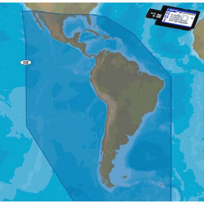
C-Map 4D Continental Electronic Navigation Chart Item # 864095
Description
C-MAP 4D CONTINENTAL Electronic Navigation Charts are your best chart option for the Raymarine Dragonfly series. Full-featured vector charts provide up-to-date details including depth areas and contours, spot soundings, navigational aids, light sectors, wrecks and obstructions.
Features:
- Tidal heights, currents and animated tidal current arrows
- Harbor and approach details including land elevations, boundaries, bridges and anchorage areas
- C-Marina port database with detailed marina charts including port layouts and facilities, operating hours, accessibility notes, phone / VHF contact information and more
- Multi-language capability – charts displayed in English and one of (19) local languages
Specifications:
- Coverage Category: CONTINENTAL
- Media: Micro SD Card with SD Card Adapter
Note: Vector data only – compatible with all 4D chartplotters, but advanced 4D features (dynamic raster charts, Easy Routing, satellite overlay, etc.) are not supported.