Deals
-
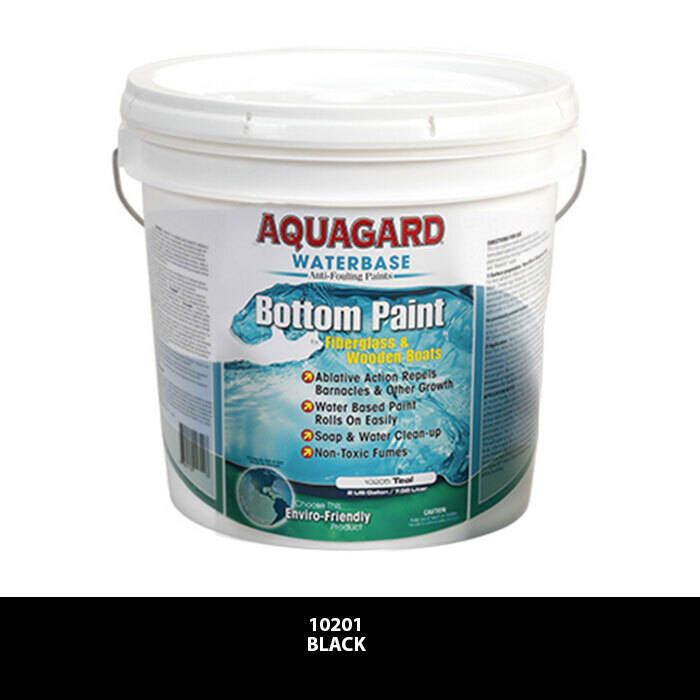
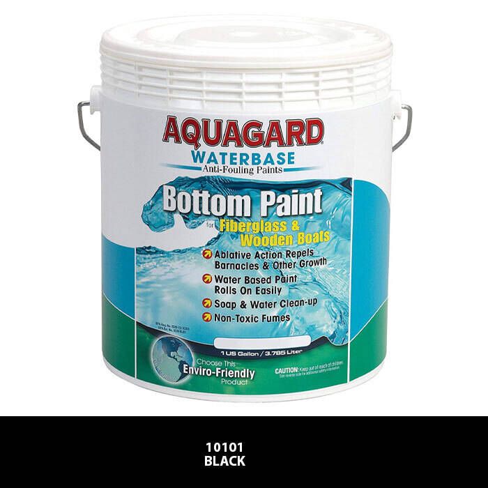
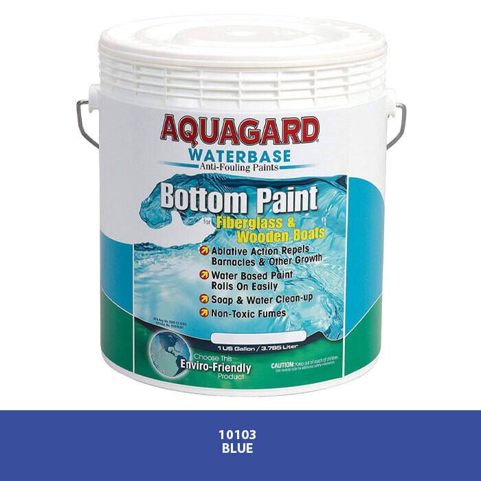
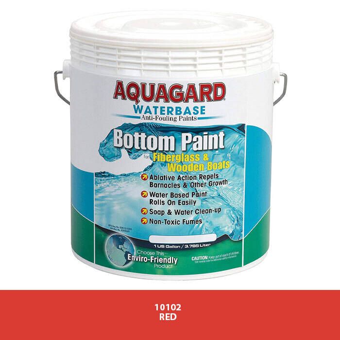
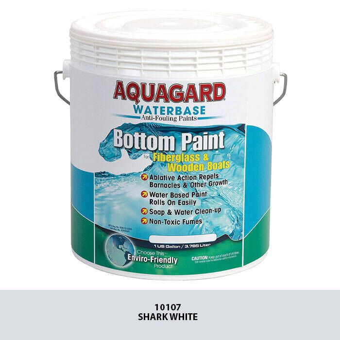
Aquagard Antifouling Bottom Paint
$59.01 - $199.20 -

B&G Zeus 3S 12 Multifunction Display with C-MAP - 000-15409-002
$5,839.21 -




Aquagard Bottom Gard Antifouling Paint
$113.06 -
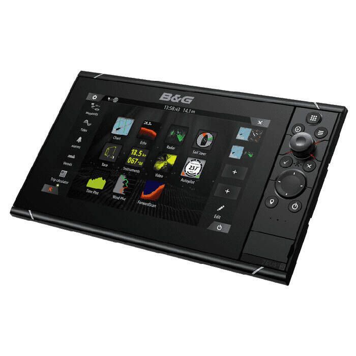
B&G Zeus 3S 9 Multifunction Display with C-MAP - 000-15408-001
$3,795.22 -
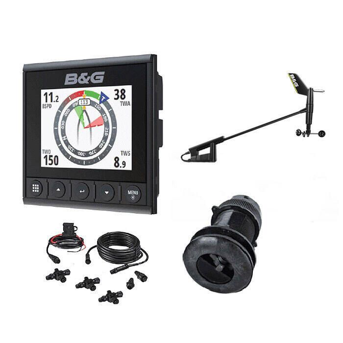
B&G Triton2 S/D/W Wired Pack with DST810 Transducer - 000-14955-002
$2,335.23 -
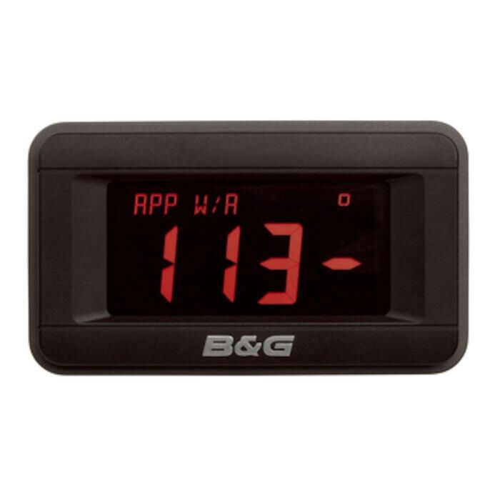
B&G Instrument Display for H5000/Triton
$859.06 - $4,298.86 -
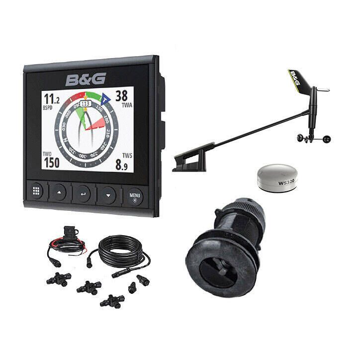
B&G Triton2 S/D/W Wireless Pack with DST810 Transducer - 000-14956-002
$2,481.23 -
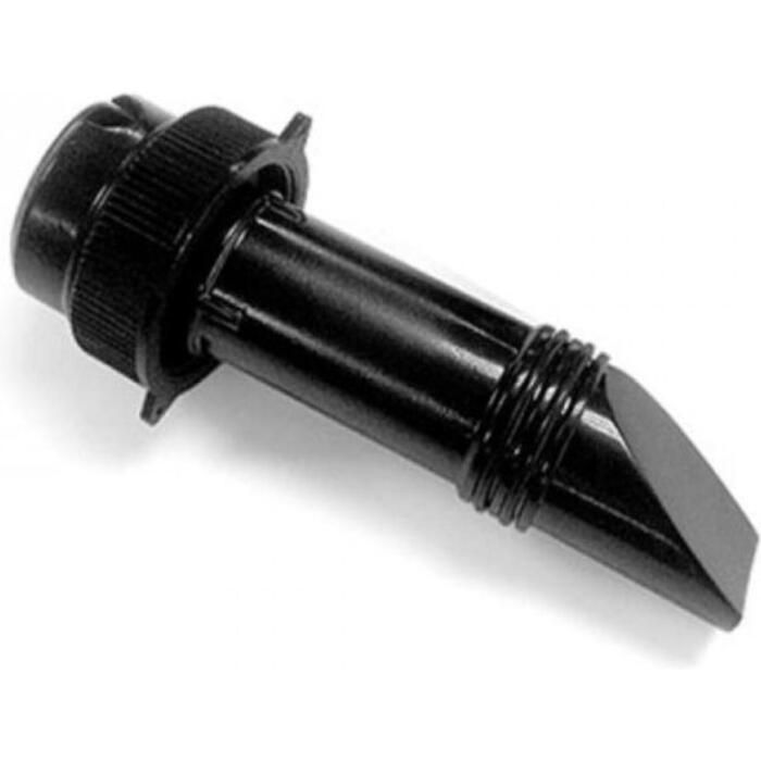
B&G ForwardScan Depth Transducer - 000-11675-001
$695.59 -

B&G WS300 Wind Vane Mast Cable - 000-14397-001
$197.71 -

Maptech ChartKit - Block Island, RI to The Canadian Border - 18th Edition - R02-18
$218.15 -

Maptech Chartkit - Norfolk Va. to Florida and the Intracoastal Waterway - R06-15
$218.15 -
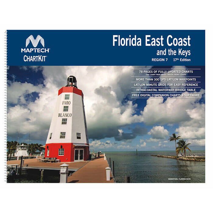
Maptech Chartkit - Florida East Coast - R07-17
$218.15 -
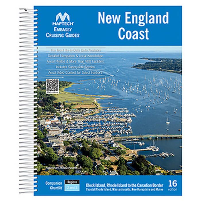
Maptech Embassy Cruising Guide: New England Coast - 16th Edition - CGNEC-16
$72.12 -

Maptech Waterproof Chartbook - Long Island Sound - WPB0325-06
$86.72 -
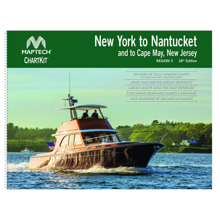
Maptech Chartkit - New York to Nantucket to Cape May, New Jersey - 18th Edition - R03-18
$199.17 -
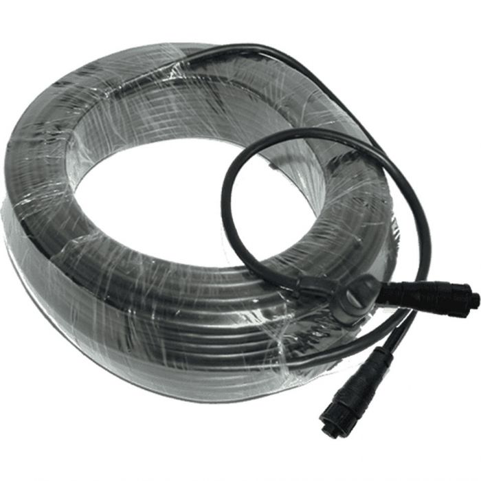
B&G Masthead Cable for WS310 Wind Sensor - 65' - 000-14396-001
$146.60 -
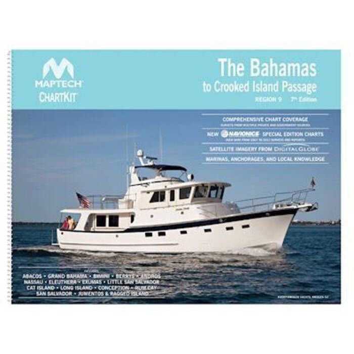
Maptech Chartkit - The Bahamas to Crooked Island Passage - R09-07
$218.15 -
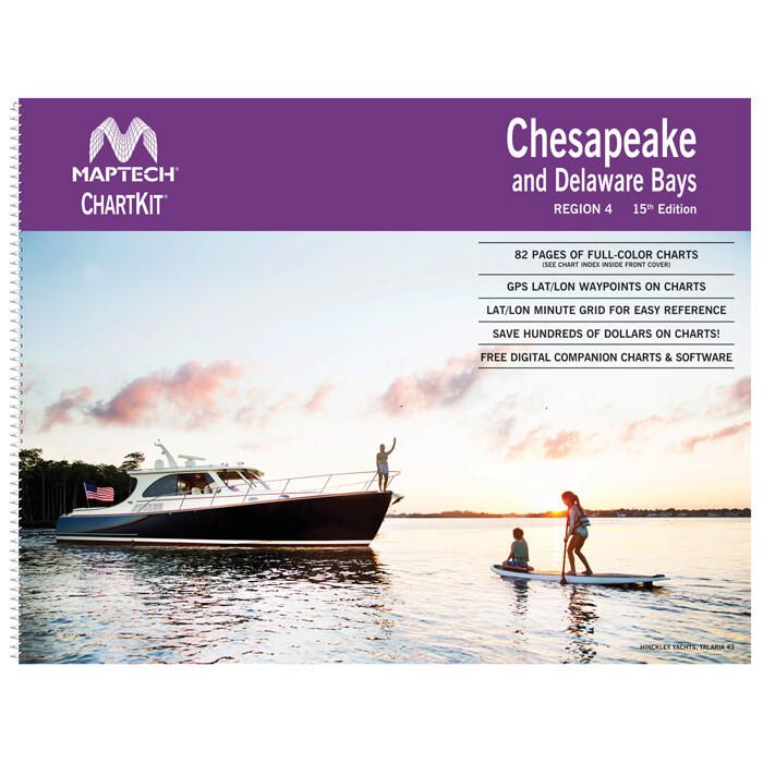
Maptech ChartKit - Chesapeake and Delaware Bays - R04-15
$199.17 -
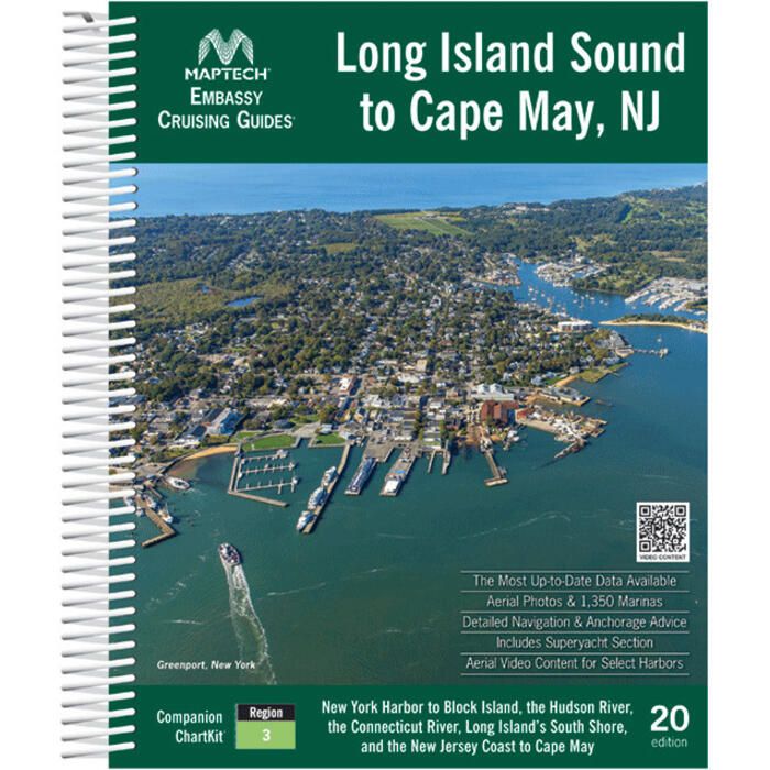
Maptech Embassy Cruising Guide: Long Island Sound to Cape May, NJ - 20th Edition - CGLIS-20
$73.53 -
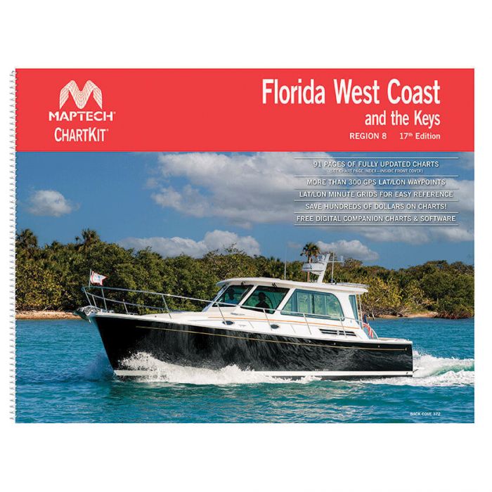
Maptech ChartKit - Florida West Coast and the Keys - 17th Edition - R08-17
$197.70 -

Maptech Folding Waterproof Chart - Long Island Sound - WPC001-10
$42.92 -

Maptech ChartKit - The Virgin Islands and Puerto Rico - R10-07
$136.38 -
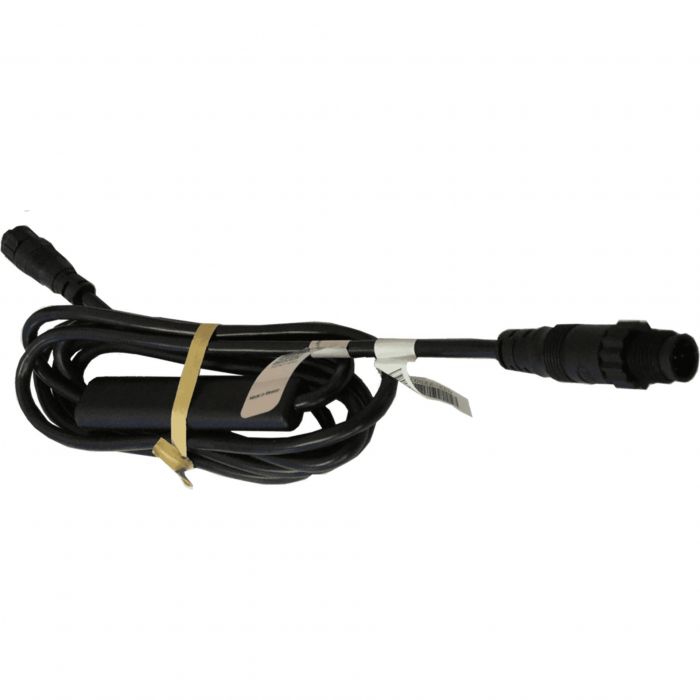
B&G WS310 Wired Interface - 000-14389-001
$159.72 -
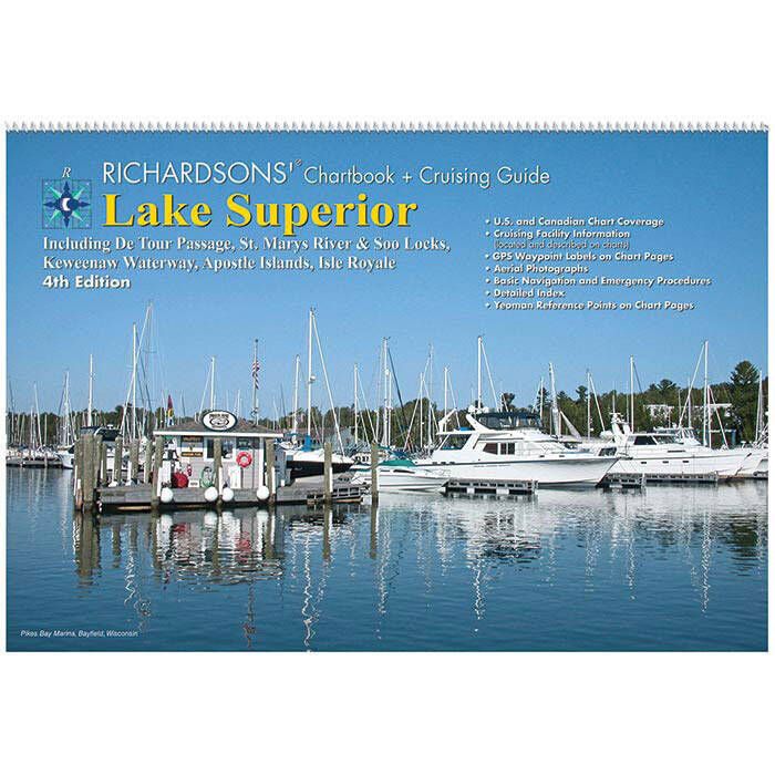
Maptech Chartbook & Cruising Guide - Lake Superior - LS4
$136.38 -

Maptech Waterproof Chartbook - Buzzards Bay, South Cape & the Islands - WPB0310-01
$96.94 -

Maptech Waterproof Chartbook - Casco Bay to Camden - WPB0220-03
$95.48 -
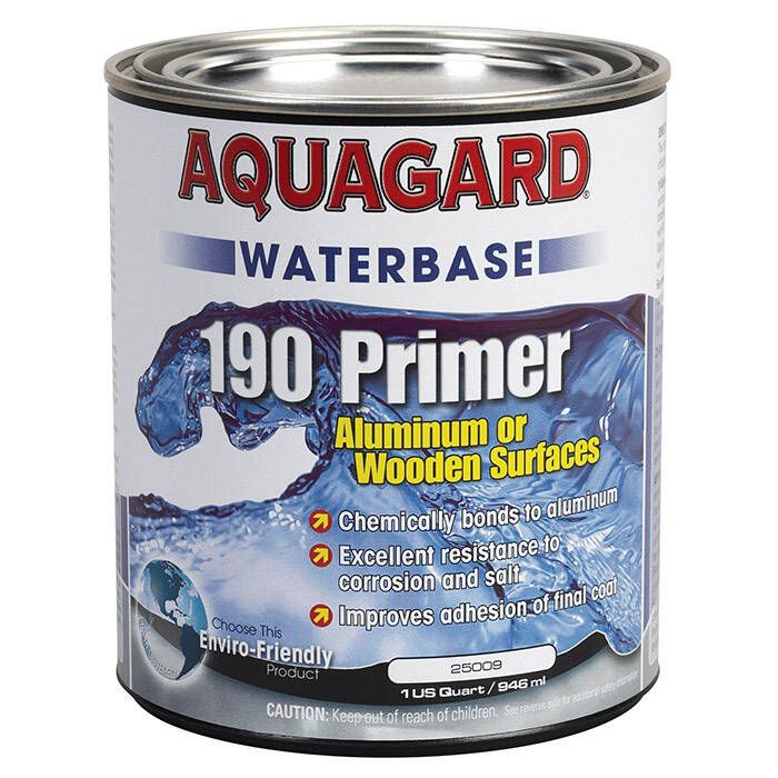
Aquagard 190 Waterbased Primer - Grey - 25009
$47.32 -

Maptech Chartbook & Cruising Guide - Lake Huron - LH8
$167.02 -
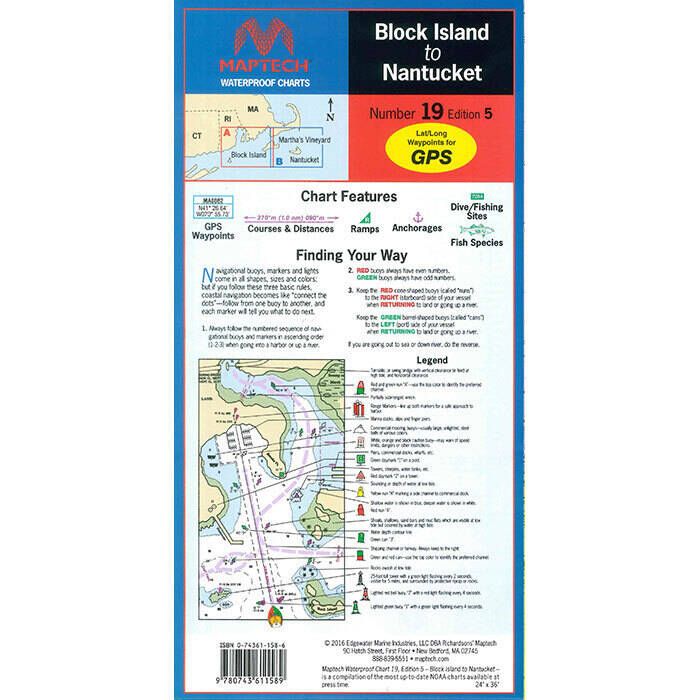
Maptech Folding Waterproof Chart - Block Island to Nantucket - WPC019-05
$41.46 -

Maptech Folding Waterproof Chart - Fishers Island to Block Island - WPC086-02
$41.46 -
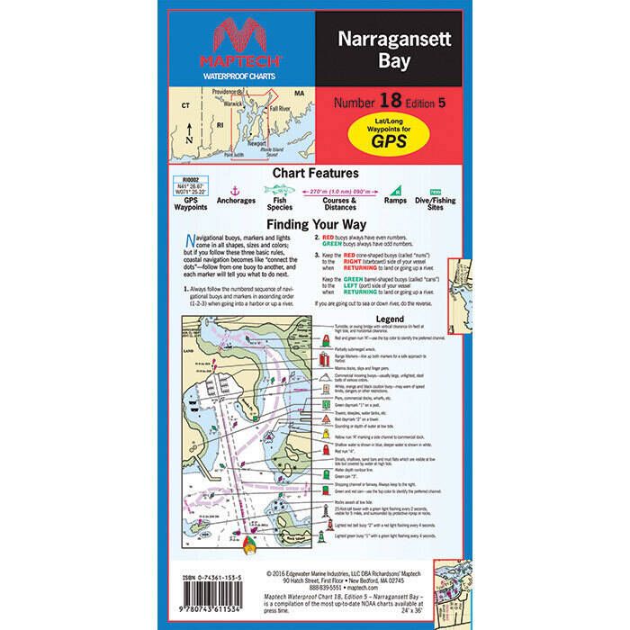
Maptech Folding Waterproof Chart - Narragansett Bay - WPC018-05
$42.92 -

Maptech Waterproof Chartbook - Penobscot Bay to Mount Desert Island - WPB0210-03
$96.94 -

Maptech Chartbook & Cruising Guide - Lake Michigan - LM11
$136.38 -
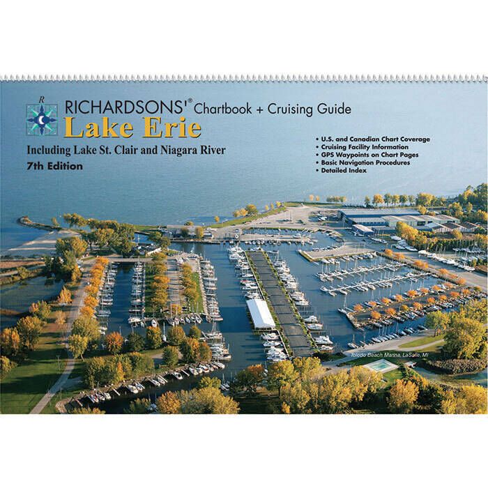
Maptech Chartbook & Cruising Guide - Lake Erie - LE7
$171.42 -

Maptech Waterproof Chartbook - New Jersey Coast - WPB0360-04
$95.48 -

Maptech Folding Waterproof Chart - Eastern Connecticut - WPC017-03
$41.46 -
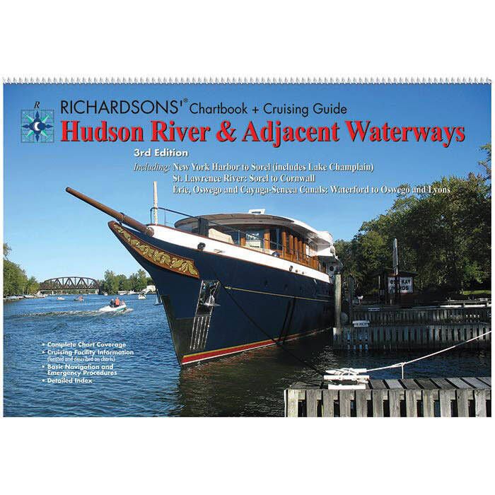
Maptech Chartbook & Cruising Guide - Hudson River and Adjacent Waterways - HR3
$136.38 -
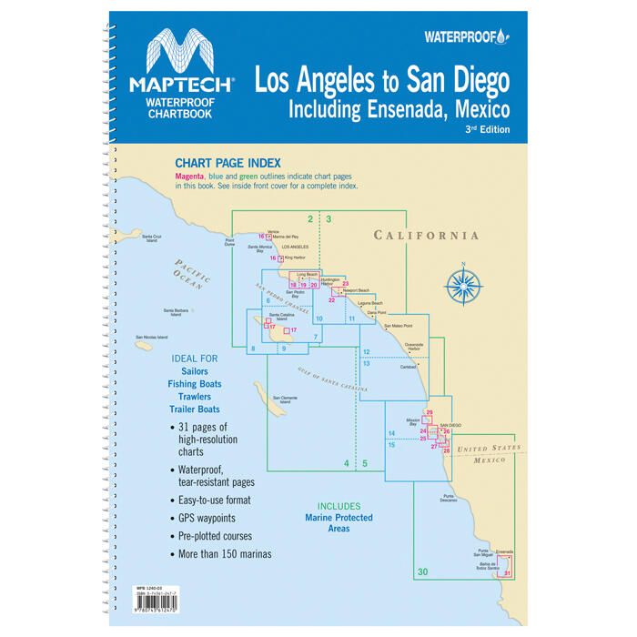
Maptech Waterproof Chartbook - Los Angeles to San Diego California - WPB1240-03
$95.48 -
B&G Zeus3 Protective Sun Cover - 7" - 000-13744-001
$41.46 -
B&G Triton2 Sun Cover - 000-13722-001
$25.32 -

Maptech Waterproof Chartbook - Upper Chesapeake Bay - 2nd Edition - WPB0430-02
$110.10 -
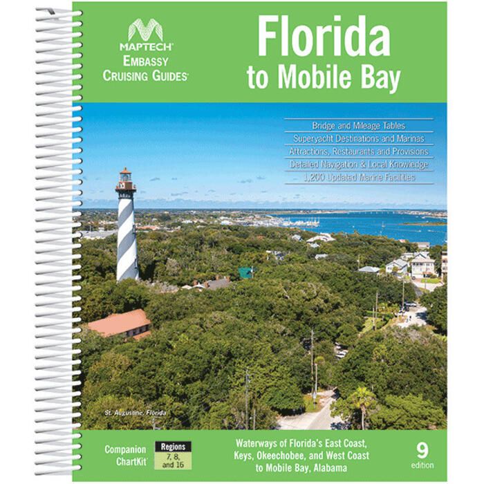
Maptech Embassy Cruising Guide: Florida to Mobile Bay - CGFL-09
$64.82 -
 33% off
Maptech Waterproof Chartbook - Cape Cod Canal to Casco Bay - WPB0245-01
$95.48$63.38 -
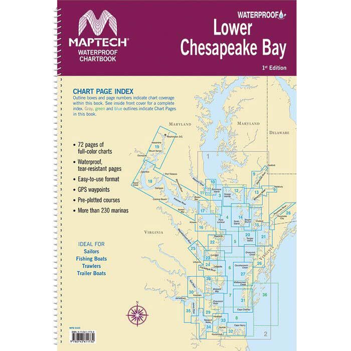
Maptech Waterproof Chartbook - Lower Chesapeake Bay - WPB0440-01
$99.88 -
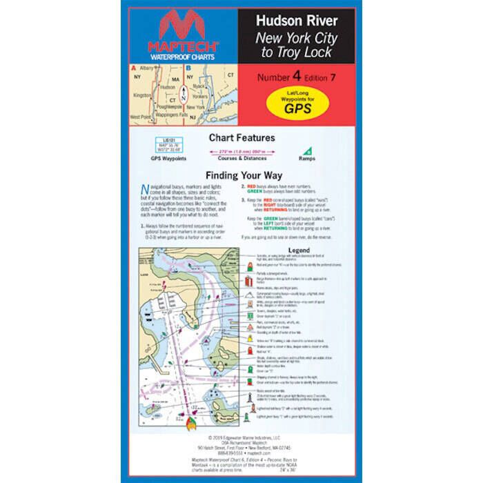
Maptech Folding Waterproof Chart - Hudson River, Liberty Island and Troy Lock - WPC004-07
$38.54 -

Maptech Folding Waterproof Chart - Massachusetts Bay and Boston Harbor - WPC021-07
$41.46 -

Maptech Folding Waterproof Chart - Western Long Island Sound - WPC016-04
$38.54 -

Maptech Chartbook & Cruising Guide - Lake Ontario - LO7
$171.42


