

Furuno
Furuno C-MAP WIDE Electronic Navigation Charts
Item: #866367 | Part Number: Not Selected$365.77

Description
Furuno C-MAP WIDE Electronic Navigation Charts deliver detailed vector mapping with 3D views, dynamic nav aids, and high-resolution bathymetry for confident coastal and offshore navigation. Updated twice yearly, they include tides, currents, harbor layouts, and satellite imagery to enhance situational awareness and route planning.
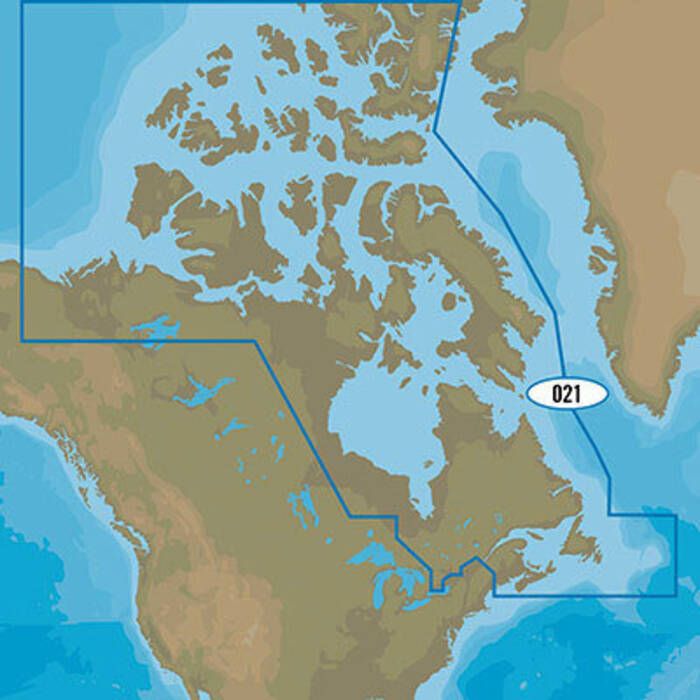
Furuno C-MAP WIDE Electronic Navigation Charts Item # 866367
Description
Furuno's C-MAP WIDE Electronic Navigation Chartsinclude vector charts, 3D data and standard resolution satellite photography of some of your favorite locations.
Features:
- Full-featured vector charts provide rich detail with the versatility to customize data layers
- Dynamic NavAids with details on navigation aids including name, color, frequency, light range and more
- Detailed harbor charts with precise marina layouts and other valuable navigation information
- C-Marina Port Database displays harbor hours, important contact information, nearby amenities, VHF call-in details and more
- Charts updated twice annually to provide all the latest detail and information
- Guardian Alarm to search and receive alerts for rocks, shallow depths, obstructions and other navigational hazards
- Route Check is an extension of Guardian Alarm that points out obstacles between waypoints
- Dynamic tides and currents predict time, level, direction and strength of currents and tides
- Aerial photos and diagrams of harbor entrances, channels and marinas
- Perspective View gives a bird's-eye view of your navigation area, tilting the chart view to a 45° angle
- High-resolution bathymetric charts provide detailed bottom profiles for locating offshore and coastal fishing areas
- Sport fishing data with updated fishing hotspots, rules and regulations
How to Purchase:
- To purchase this downloadable chart pack for the applicable Furuno chartplotter, you will need to provide your chartplotter's system ID#. Please check your manual for the location of the system ID number
- If you want the chart for both your chartplotter and Time Zero software, you need to tell us to tie the chart to both units (chartplotter and software) and the system id and serial # will be needed
- Please include the email address that you want the download codes sent to
Check with C-MAP to determine if this feature is available for your chartplotter.
Specifications:
- Coverage Category: Wide
- Media: Instructions for download will be provided with chart codes via email